ABOUT
We provide visualized data, analysis, mapping, and intelligence for all your organizational needs
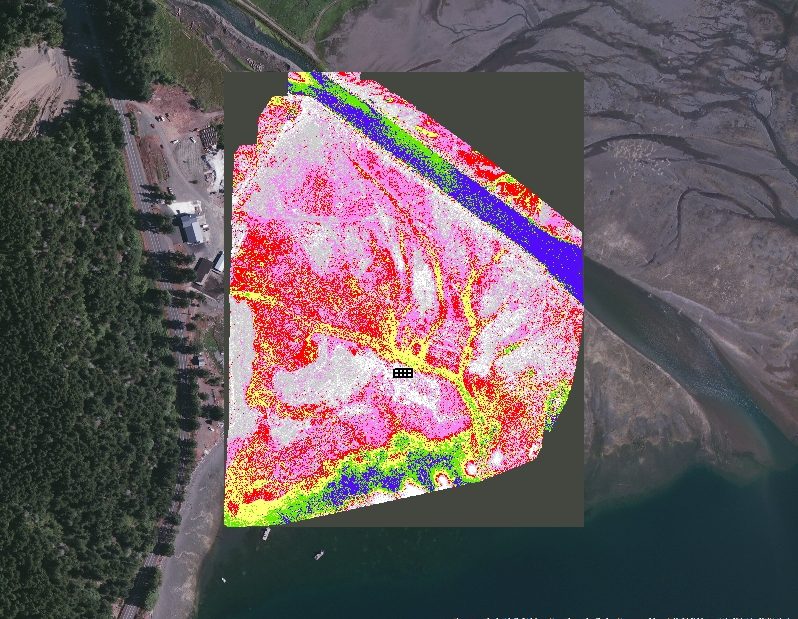
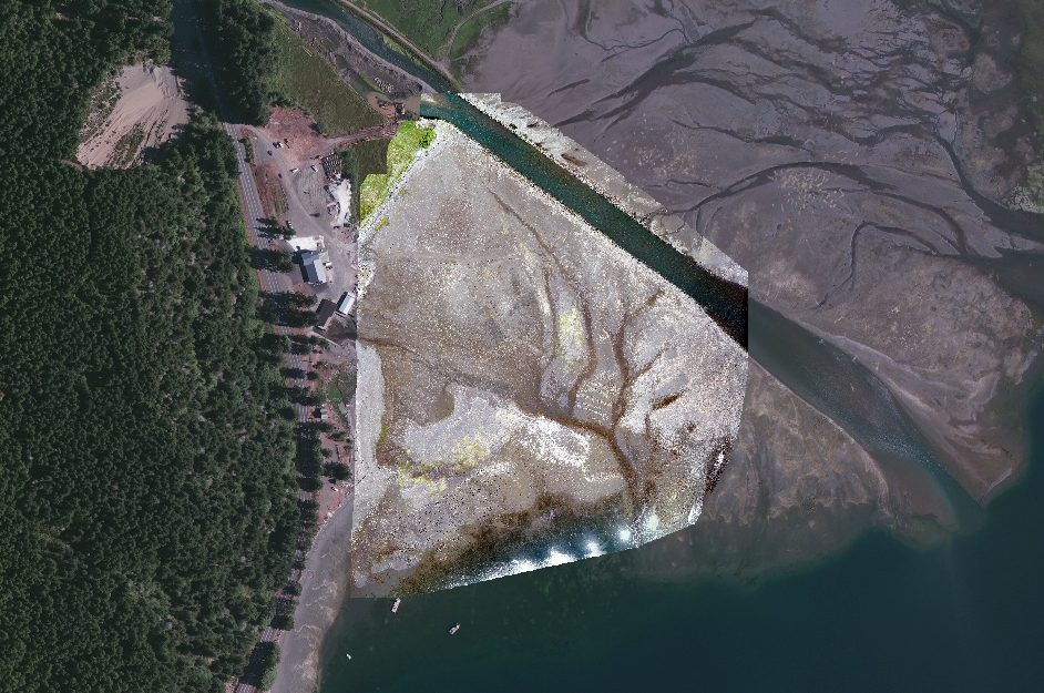
By leveraging modern Unmanned Aerial Vehicles (UAVs) with Remote-Sensing Technologies and integration into Geographic Information Systems (GIS), we provide the highest quality of geospatial products available on the market. Our approach to collection and analysis in the cyber and human realms will provide actionable intelligence in a rapid, user friendly and precise manner.
GET STARTED TODAY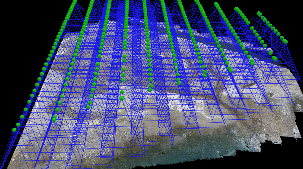
SERVICES
Leading the market in geospatial solutions
GeosoundNW is a leading provider of geographic data acquisition, surveying, inspection, and high-end aerial imagery using Unmanned Aerial Vehicles (UAVs). Our services offer extensive knowledge and experience in photogrammetry, forest management, topographic volumes, situational awareness, geographic information systems (GIS) and 3D visualizations.
Forest Management
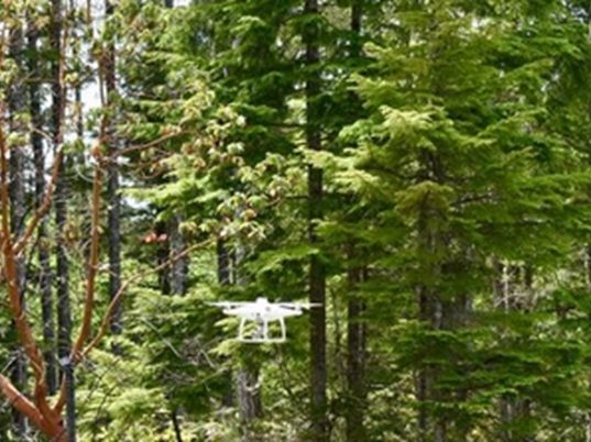
With the latest RGB and Multispectral sensors, GeosoundNW leverages the power of UAV systems to efficiently assess working forests at various stages of the forest management cycle. GeosoundNW provides foresters with accurate and highly detailed information, otherwise costly and difficult to obtain on the ground.
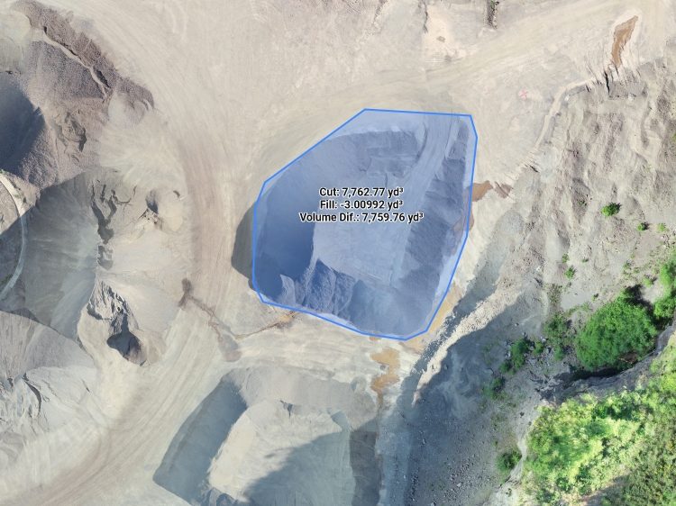
Topographic Volumes
Utilizing the latest photogrammetry software, GeosoundNW streamlined workflows and cloud collaboration to provide the customer with the latest information about their geographic data acquisition.
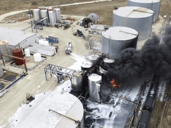
Situational Awareness
GeosoundNW services and products enhance safety, improve communications and aid in situational awareness
CONNECT WITH US
Contact us
For questions, inquiries, or pricing, please contact us by filling out the form below
